General Information: Built: Pre-1920s Fully Removed: ~1983 Beginning Point: Mileage 174.9, Brooks Subdivision End Point: End of track General Direction: South
Customers (c.1968) Aqua Soft Purity 99 Oil Propane Engineering Cartier Storage BA Oil Exhibition Park (Calgary Stampede)
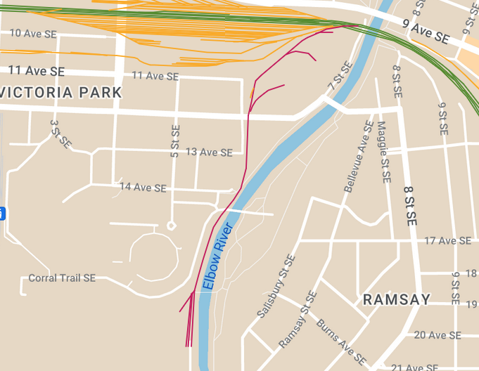
Map See my full map of every rail line to exist in Calgary here! Trackage coloured pink/magenta indicates the EX Lead
More on the EX Lead The two coolest things about the EX Lead are: a) How scenic it was b) That it served the Stampede Grounds
The EX Lead ran through the historic neighbourhood of Victoria Park (which is all a giant, ugly parking lot today) and along the banks of the Elbow River, and may have even been street running in this section. This was all under a big canopy of trees and along a nice little street with very old houses. This is another lead I would kill to see some pictures of.
The other neat thing is that... yeah - the Calgary Stampede was a customer of the Canadian Pacific Railway at a time. Up until the late 1960s, it was legal to transport livestock by rail and that would have likely been one of the reasons why the Stampede Grounds had rail access. Due to the rail-centric nature of the times, they probably used their track to ship other goods as well. The yard that the Stampede had was near the spot where the rides for younger children are during the Stampede, by the pedestrian bridge to Enmax Park near the Saddledome. Gallery
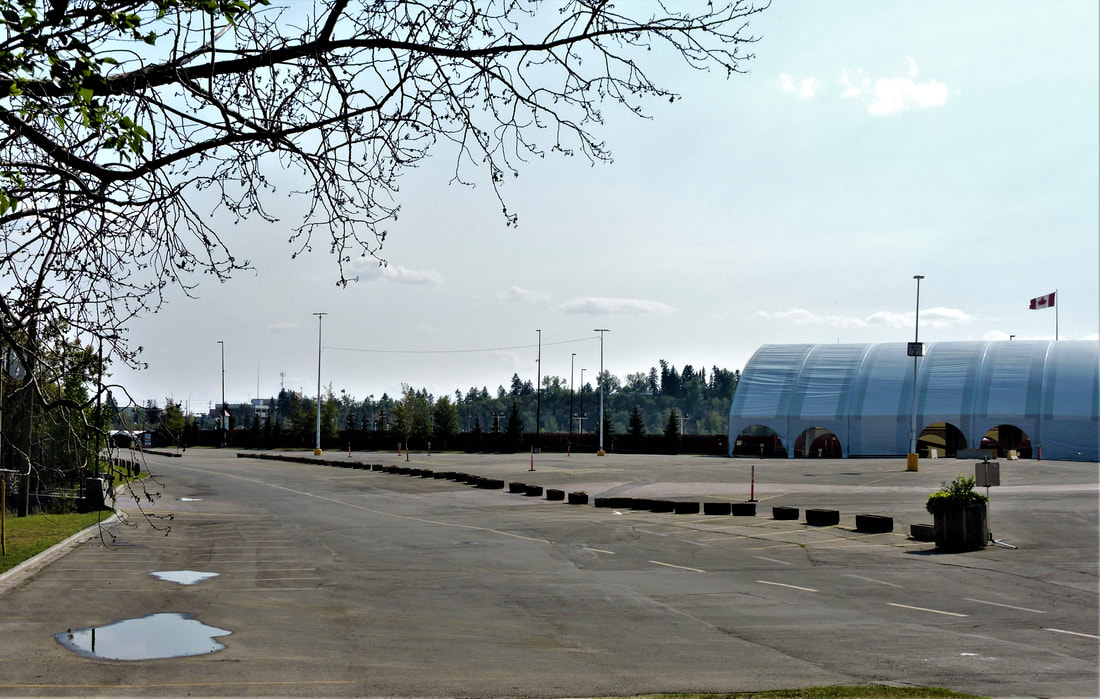
This was the terminus of the EX Lead. There used to be a small yard here which served the Stampede Grounds.